

On the Walkable Map of Nebraska, Wall Mural, and Reading Rail, you’ll see first-hand that Nebraska’s topography is as varied and diverse as the food products that are produced here. Find out for yourself as you climb this topographic map that demonstrates the elevation change from west to east across the state.
Nebraska’s dramatic elevation change from west to east is one reason our agriculture is so diverse. For every 25 miles one goes from west to east in Nebraska, average annual precipitation increases by about one inch. There is no “one” Nebraska—a number of factors make different areas of the state unique in terms of climate, environment, agriculture, and precipitation.
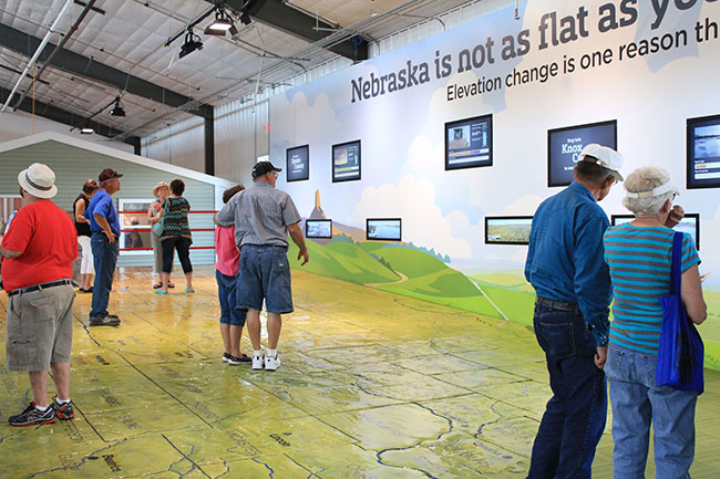
 While walking on the map, stand on selected counties to view information on the wall monitors.
Activities
- Walk along the 50-foot map of Nebraska to get a sense of the state’s elevation change and discover the 93 counties—and find your own home county in the process
- Stand on selected counties to view information on those counties on the wall mural monitors
- Watch timelapse photography of the Platte River at five locations across the state
- Learn about precipitation, soil types and eco-regions at the reading rail
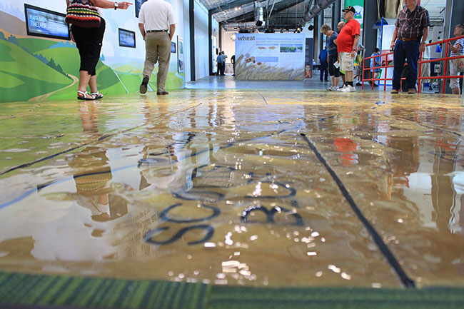
 Walk from one end of the state to the other, find your home county, and get a sense of the elevation change from east to west.


